
Mapa topográfico Col de l'Iseran
Mapa interactivo
Haga clic en el mapa para ver la altitud.
Acerca de este mapa
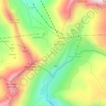
Nombre: Mapa topográfico Col de l'Iseran, altitud, relieve.
Altitud media: 2.779 m
Altitud mínima: 2.467 m
Altitud máxima: 3.117 m
On both sides of the Col de l'Iseran, mountain pass cycling milestones mark the distance to the summit, the current altitude, and the average slope in the following kilometre.