
Mapa topográfico Shaniko
Mapa interactivo
Haga clic en el mapa para ver la altitud.
Acerca de este mapa
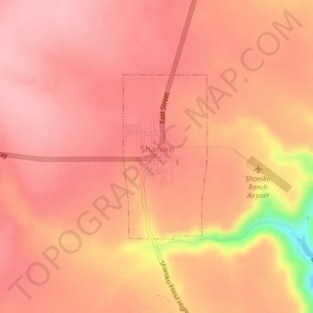
Nombre: Mapa topográfico Shaniko, altitud, relieve.
Lugar: Shaniko, Wasco County, Oregon, United States (44.99660 -120.75733 45.01082 -120.74709)
Altitud media: 1.009 m
Altitud mínima: 900 m
Altitud máxima: 1.038 m
The city is at an elevation of 3,343 feet (1,019 m). On the high plateau on which Shaniko was built, the soil is thin and the vegetation sparse, consisting mainly of sagebrush, bunchgrass, and occasional junipers. Many peaks of the Cascade Range, including Hood, Jefferson, Adams, St. Helens and Rainier, are visible from the city.