
Mapa topográfico Hogsmill River
Mapa interactivo
Haga clic en el mapa para ver la altitud.
Acerca de este mapa
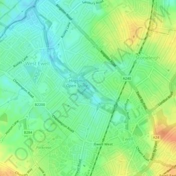
Nombre: Mapa topográfico Hogsmill River, altitud, relieve.
Altitud media: 37 m
Altitud mínima: 21 m
Altitud máxima: 59 m
Otros mapas topográficos
Haga clic en un mapa para ver su topografía, su altitud y su relieve.
Epsom Downs
United Kingdom > England > Epsom and Ewell
Epsom Downs, Epsom and Ewell, Surrey, South East, England, United Kingdom
Altitud media: 118 m
Nonsuch Park
United Kingdom > England > Epsom and Ewell
Nonsuch Park, Stoneleigh, Epsom and Ewell, Surrey, South East, England, United Kingdom
Altitud media: 50 m