
Gracias por apoyar a este sitio ❤️
Haz una donación
Haz una donación
Mapa topográfico Foothill Farms
Haga clic en el mapa para ver la altitud.
Gracias por apoyar a este sitio ❤️
Haz una donación
Haz una donación
Acerca de este mapa
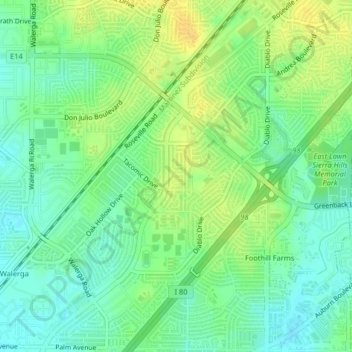
Nombre: Mapa topográfico Foothill Farms, altitud, relieve.
Altitud media: 42 m
Altitud mínima: 30 m
Altitud máxima: 55 m
Gracias por apoyar a este sitio ❤️
Haz una donación
Haz una donación
Otros mapas topográficos
Haga clic en un mapa para ver su topografía, su altitud y su relieve.
Gracias por apoyar a este sitio ❤️
Haz una donación
Haz una donación
Gracias por apoyar a este sitio ❤️
Haz una donación
Haz una donación
Gracias por apoyar a este sitio ❤️
Haz una donación
Haz una donación
Rancho Cordova
United States > California > Sacramento County
In the Gold Rush era of mid-19th-century California, placer mining took place around Rancho Cordova, and some traces of it can still be found. The elevation of the generally level terrain is approximately 118 feet (36 m) above mean sea level. Lone Star Gravel Company and other companies have historically…
Altitud media: 31 m
Gracias por apoyar a este sitio ❤️
Haz una donación
Haz una donación