
Mapa topográfico Komatke
Mapa interactivo
Haga clic en el mapa para ver la altitud.
Acerca de este mapa
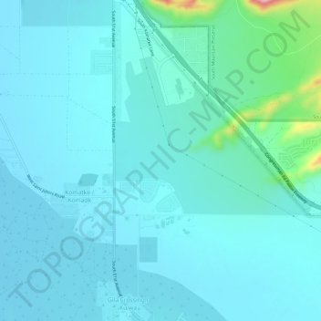
Nombre: Mapa topográfico Komatke, altitud, relieve.
Altitud media: 335 m
Altitud mínima: 309 m
Altitud máxima: 528 m
Saint John the Baptist Parish Laveen, the Saint Johns Mission, is in Komatke. The name is taken from the mission school founded by the Franciscans in 1894. It has an estimated elevation of 1,030 feet (310 m) above sea level.