

Mapa topográfico Harrogate
Haga clic en el mapa para ver la altitud.
Harrogate
Harrogate is situated on the edge of the Yorkshire Dales, with the Vale of York to the east and the upland Yorkshire Dales to the west and north-west. It has a dry and mild climate, typical of places in the rain shadow of the Pennines. It is on the A59 from Skipton to York. At an altitude of between 100 and 200 metres (330 and 660 ft), Harrogate is higher than many English settlements. It has an average minimum temperature in January of slightly below 0 °C (32 °F) and an average maximum in July and August of 20 °C (68 °F).
Acerca de este mapa
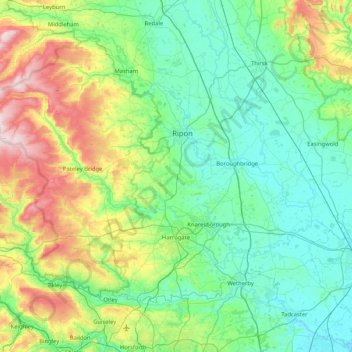
Nombre: Mapa topográfico Harrogate, altitud, relieve.
Lugar: Harrogate, North Yorkshire, England, United Kingdom (53.89141 -2.00450 54.26160 -1.17500)
Altitud media: 131 m
Altitud mínima: 4 m
Altitud máxima: 568 m
Otros mapas topográficos
Haga clic en un mapa para ver su topografía, su altitud y su relieve.


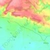
Scarborough
United Kingdom > England > North Yorkshire
The climate is temperate with mild summers and cool, windy, winters. The hottest months of the year are July and August, with temperatures reaching an average high of 17 °C and falling to 11 °C at night. The average daytime temperatures in January are 4 °C, falling to 1 °C at night. The station's elevation…
Altitud media: 39 m















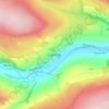
Bolton Castle
United Kingdom > England > North Yorkshire > Redmire > Castle Bolton
Altitud media: 250 m


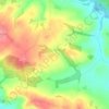
Thimbleby & Osmotherly Show field
United Kingdom > England > North Yorkshire > Thimbleby
Altitud media: 152 m




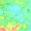










Willerby Brow Plantation
United Kingdom > England > North Yorkshire > Ryedale > Staxton > Binnington
Altitud media: 100 m