
Mapa topográfico Getzville
Mapa interactivo
Haga clic en el mapa para ver la altitud.
Acerca de este mapa
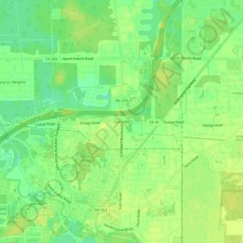
Nombre: Mapa topográfico Getzville, altitud, relieve.
Altitud media: 179 m
Altitud mínima: 168 m
Altitud máxima: 184 m
Otros mapas topográficos
Haga clic en un mapa para ver su topografía, su altitud y su relieve.
North Bailey
United States > New York > Erie County > Town of Amherst
North Bailey, Town of Amherst, Erie County, New York, 14261, United States
Altitud media: 182 m
Swormville
United States > New York > Erie County > Town of Amherst
Swormville, Town of Amherst, Erie County, New York, 14051, United States
Altitud media: 180 m
Village of Williamsville
United States > New York > Erie County > Town of Amherst
Village of Williamsville, Town of Amherst, Erie County, New York, United States
Altitud media: 206 m