
Mapa topográfico Pyrenees
Mapa interactivo
Haga clic en el mapa para ver la altitud.
Acerca de este mapa
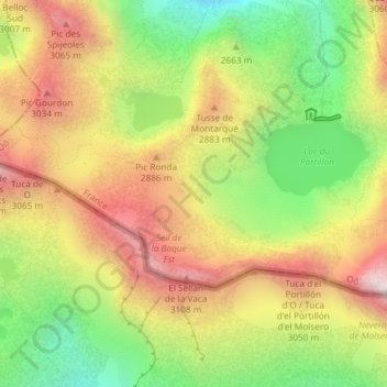
Nombre: Mapa topográfico Pyrenees, altitud, relieve.
Altitud media: 2.716 m
Altitud mínima: 2.265 m
Altitud máxima: 3.168 m
In the Western Pyrenees, from the Basque mountains near the Bay of Biscay of the Atlantic Ocean, the average elevation gradually increases from west to east.