

Mapa topográfico Littleborough
Haga clic en el mapa para ver la altitud.
Littleborough
In the late 18th century, the low-altitude Summit Gap between Littleborough and Walsden was approved as the best route over the Pennines for the Rochdale Canal and the Manchester to Leeds railway; Hollingworth Lake was built at Littleborough's south side as a feeder reservoir to regulate the waters of the canal. This infrastructure encouraged industrialists to modify Littleborough's traditional handloom cloth workshops with a mechanised form of textile production. Attracted to the area's natural resources and modern infrastructure, coal mining, engineering ventures and increasingly large textile mills contributed to Littleborough's population growth and urbanisation, sealing its status as a mill town. Local government reforms established the Littleborough Urban District in 1894 which was governed by its own district council until its abolition in 1974.
Acerca de este mapa
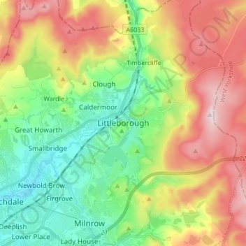
Nombre: Mapa topográfico Littleborough, altitud, relieve.
Altitud media: 266 m
Altitud mínima: 122 m
Altitud máxima: 473 m