
Haz una donación
Mapa topográfico Juist
Haga clic en el mapa para ver la altitud.
Haz una donación
Juist
Juist is accessible by plane or daily ferry. FLN Frisia Luftverkehr operates planes between Norden and Juist. Most motor vehicles are prohibited on the island, with only the fire department, the German Red Cross and doctors allowed to use them. Island tractors require a special license, while most other transport is done by bike or horse-drawn carriage. It was reported by the Reuters news agency, on 24 September 2014, that an unmanned "parcelcopter" will commence delivery of urgent drugs and supplies to the island by DHL. It will be the first time an unmanned aircraft had been authorised to deliver goods in Europe and the first time that automated drones have been used to deliver medicines anywhere in the world. The flight at an altitude of 50 m and at a speed of up to 18 m/s will be automated but monitored in Norddeich.
Haz una donación
Acerca de este mapa
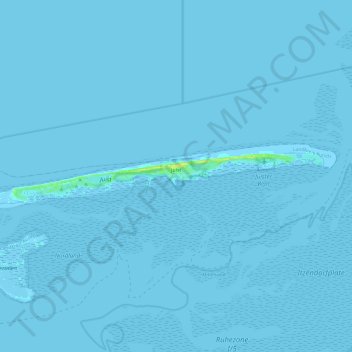
Nombre: Mapa topográfico Juist, altitud, relieve.
Lugar: Juist, Landkreis Aurich, Lower Saxony, 26571, Germany (53.66273 6.86500 53.68875 7.10509)
Altitud media: 0 m
Altitud mínima: -4 m
Altitud máxima: 16 m
Haz una donación
Otros mapas topográficos
Haga clic en un mapa para ver su topografía, su altitud y su relieve.